River flood plains: a view from geohydrology
DOI:
https://doi.org/10.24215/16684869e011Keywords:
Hydrology, groundwater, water quality, agriculture, urbanizationAbstract
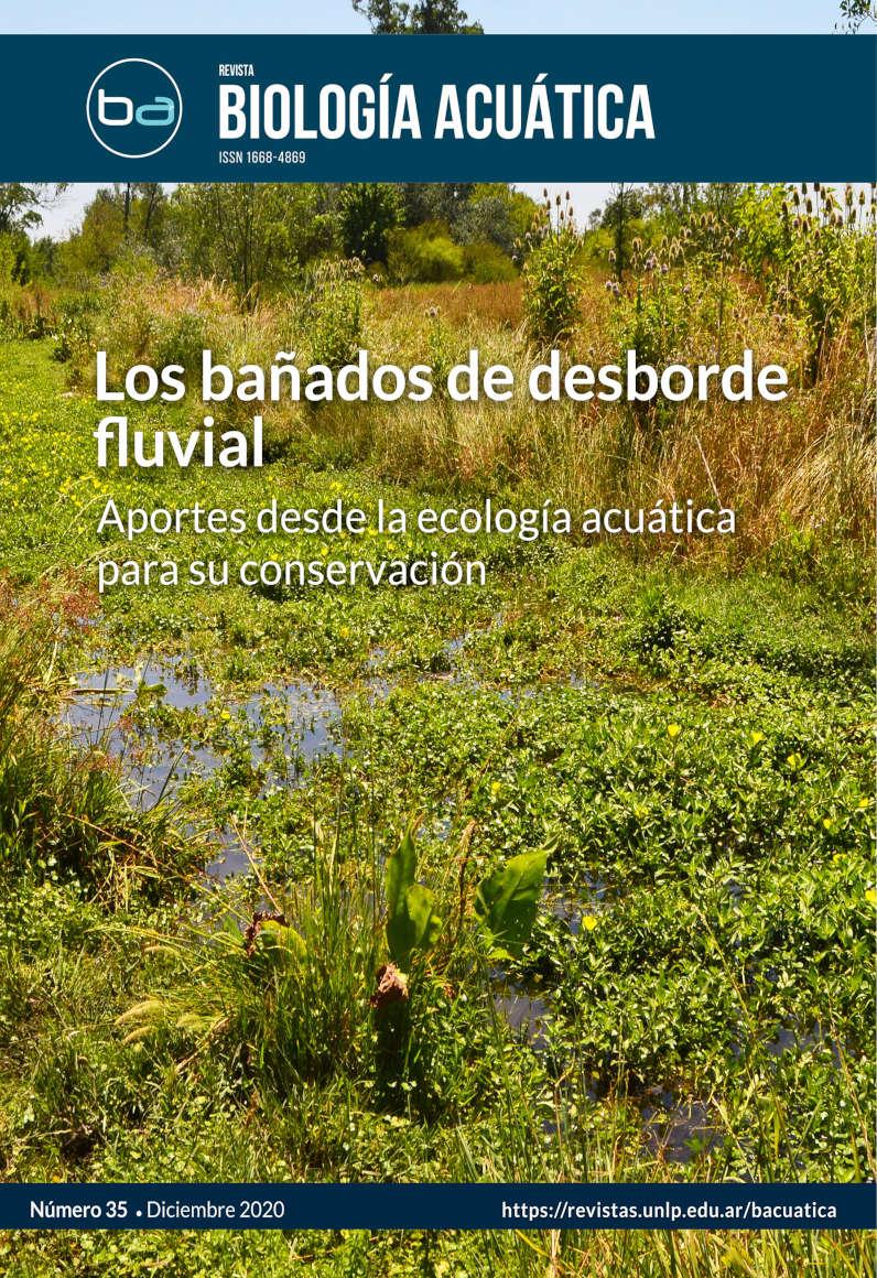
The riverine wetlands (RWs) cover stretches (ranging from hundreds of meters to kilometers) of the Pampean river systems, with particular characteristics and functions. These wetlands are the result of an outcropping of the phreatic level and a local decrease in the hydraulic gradient, which gives rise to a widening of the main watercourse together with the appearance of a micro-drainage network. These conditions favor the development of wetlands associated with the main course, with a significant development of the typical vegetation of very wet soils. The aim of this study was to analyze the hydrological characteristics and water quality of the RWs located in urbanized areas with agricultural activity (in Carnaval and Del Gato streams) and in rural areas with extensive cattle farming (in Cajaravillas and Chubichamini streams), in order to recognize how different land uses modify the conservation conditions of the wetlands. The geohydrological analyses were carried out on a regional (basin), semi-detailed (sub-basin) and detailed (RWs) scale. The results showed that the overexploitation of groundwater affects the permanence of water in the wetlands, due to the disconnection between the phreatic level and the basal level of the RW located in the urbanized area with agricultural activity. In these latter, the supply of nutrients also influences the deterioration of water quality. The conclusion is that an environmental diagnosis of these RWs requires a regional approach to hydrological processes in order to adopt adequate actions for their conservation.
Downloads