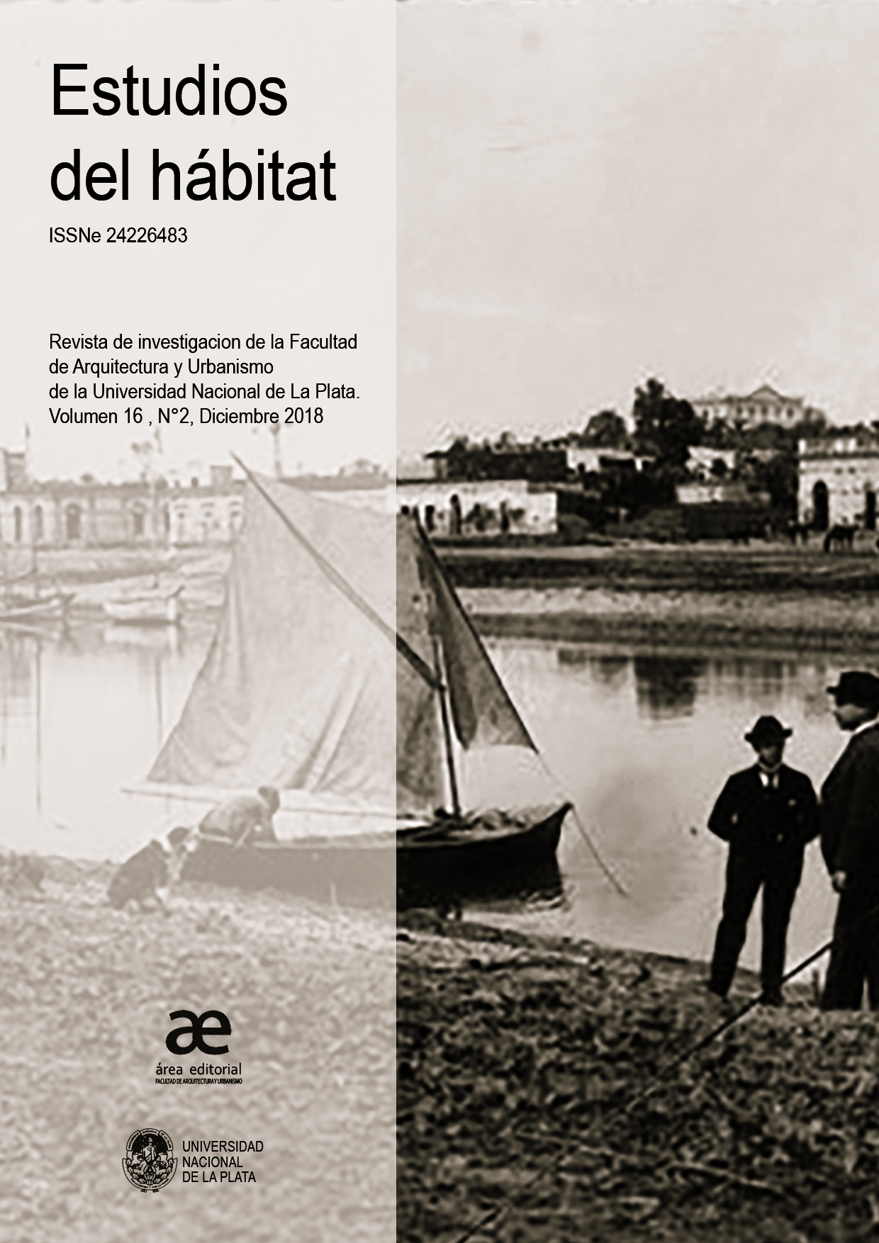
Cartographic and iconographical representations of Mendoza in colonial times: the city and the Canal-Zanjón
DOI:
https://doi.org/10.24215/24226483e050Keywords:
Plans, Water, Ditches, MendozaAbstract
SUMMARY:
The story of the evolution of American cities, exceptionally explains how it passes, from the initial photo that constitutes the foundational plan, to the first real plan that appears on said city, sometimes centuries later. Why this first real plan has so little to do with that initial idea. What elements contributed to the changes that are noticed in the direction of the streets, in the distribution of the lots or plots, in the distance or the approach to coasts, seas or rivers, etc.
One of these important modifiers has to do with the imperative need of supplying drinking water and water for the irrigation of farms for that new city.
Mendoza was no exception to the absence of an explanatory description that would account for these changes and modifications until we (as of 1987) modified the explanatory paradigm of changes in topography and its consequences in the area.
Keywords: PLANS / WATER / DITCHES / MENDOZA
Downloads
Metrics
References
ANZORENA, J. (15/9/1933). Informe al Sr. Ministro de Industrias y Obras Públicas de la Provincia, Ing. E. López Frugoni. Ministerio de Obras Públicas de la Provincia de Mendoza. Mendoza: material inédito.
ANZORENA, J. (1938). La toma de los españoles. El Río, el Zanjón y la Ciudad. Actas Congreso Historia de Cuyo. Mendoza: Best Impresores.
COROMINAS SEGURA, R. (1942). Provincia de Mendoza. Labor de Gobierno-Período 1938-1941. Mendoza: Imprenta Oficial.
DRAGHI LUCERO, J. (1938). Cancionero Popular Cuyano. Mendoza: Best Impresores.
DRAGHI LUCERO, J. (1938). Crónicas de Cuyo. En C. P. Cuyano (Ed.), Anales del 1º Congreso de Historia de Cuyo.VIII.
Mendoza: Best Impresores.
JUNTA DE ESTUDIOS HISTÓRICOS DE MENDOZA. (1961). Actas Capitulares de Mendoza (Vol. II). Buenos Aires, Argentina: Imprenta López.
MARTÍNEZ, P. S. (1961). Historia Económica de Mendoza durante el Virreinato. (1776-1810). (I. G. Oviedo, Ed.) Madrid.
MEDINA, J. T. (1898). Colección de documentos inéditos para la Historia de Chile desde el Viaje de Magallanes hasta la batalla de Maipú (1518-1818) (Vol. XV). Santiago de Chile: Imprenta Elzeviriana.
PONTE, J. R. (2006). DE LOS CACIQUES DEL AGUA A LA MENDOZA DE LAS ACEQUIAS. Cinco siglos de historia de acequias, zanjones y molinos. Mendoza, Mendoza, Argentina: Ediciones “Ciudad y Territorio” INCIHUSA-CONICET.
PONTE, J. R. (2008). MENDOZA, AQUELLA CIUDAD DE BARRO. Ilustrado. Historia de una ciudad andina, desde el siglo XVI hasta nuestros días. Buenos Aires: Imprenta Unión.
PROVINCIA DE MENDOZA. (1910). Censo General de la Pcia. de Mendoza. Levantado el 18/8/1909. Buenos Aires: Cía. Sudamericana de Billetes de Banco.
VIDELA Y VALENZUELA, E. (1938). Descripción de la Ciudad de Mendoza (al comenzar el siglo XIX). En Anales del Primer Congreso de Historia de Cuyo (El Telégrafo-Mercantil. 1801 ed., Vol. VII). Mendoza.
Plano 1561 [Archivo General de Indias], infografía propia de 1561-66, plano 1754 [Archivo Nacional de Chile], plano 758 [A.N.Ch.], plano 1761 [A.N.Ch.], plano 1764 [A.N.Ch.], plano 1822 [A.N.R.J. Archivo Nacional de Río de Janeiro], plano de Ciudad de 1872/73 y territorial de esos mismos años, fueron las fuentes cartográficas y topográficas que sirvieron de base para construir nuestras propias infografías.
Abreviaturas: Diario “Los Andes”, Mendoza: [L.A.]
Downloads
Published
How to Cite
Issue
Section
License
Acorde a estos términos, el material se puede compartir (copiar y redistribuir en cualquier medio o formato) y adaptar (remezclar, transformar y crear a partir del material otra obra), siempre que a) se cite la autoría y la fuente original de su publicación (revista y URL de la obra), b) no se use para fines comerciales y c) se mantengan los mismos términos de la licencia.


.jpg)


